December 3 — Leaving the Chesapeake
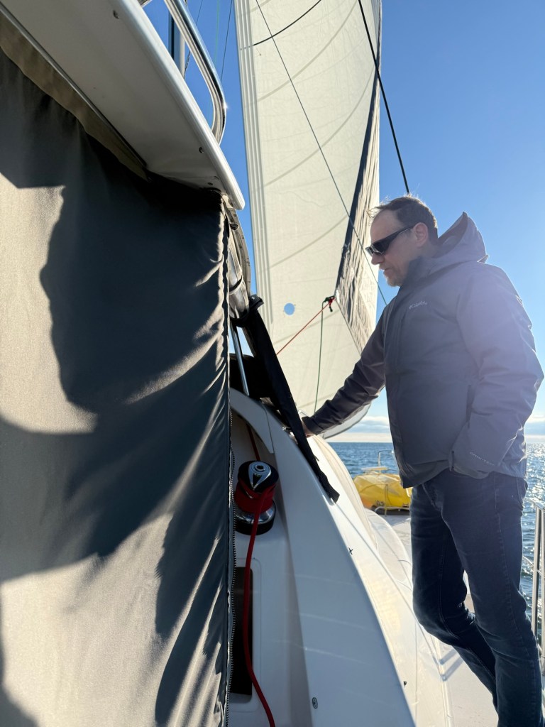
We exited the Chesapeake Bay early in the afternoon and settled into offshore mode almost immediately. Once clear, the boat went onto autopilot for most of the time — remarkably smooth and reliable, almost like having a Tesla quietly driving while you supervise. It was a gentle start to what we knew would be a long passage, and spirits were high as we pointed south and watched the shoreline fade away.
⸻
December 4 — Decision Day: The Gulf Stream
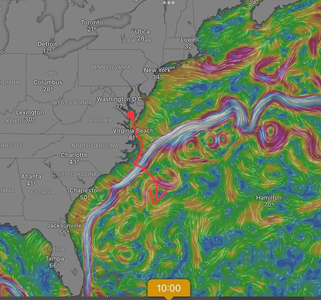
By morning, the weather window we had been watching lined up almost perfectly. Conditions looked favourable to make the Gulf Stream crossing at its narrowest and calmest point, minimizing the risk of opposing wind and current. After reviewing the options and marking routes on the chart, we committed.
By early evening, we were across the Gulf Stream and officially headed straight south. The water temperature jumped dramatically — from about 20°C to 27°C in just minutes — an unmistakable sign we’d crossed into warmer waters. You could feel the temperature change in the cabin walls! From here, it would be roughly 669 nautical miles to Georgetown, a 4½-day passage at an average speed of about 6 knots.
Cell service disappeared quickly. Starlink worked, but offshore data costs were eye-opening, so we switched to a conservative communication routine. Twice daily check-ins became the plan.
⸻
December 5 — Settling Into the Passage
The day began with excellent wind and manageable seas. We cruised south at 5–6 knots, with Georgetown looking achievable by Tuesday or Wednesday.

Watch out!
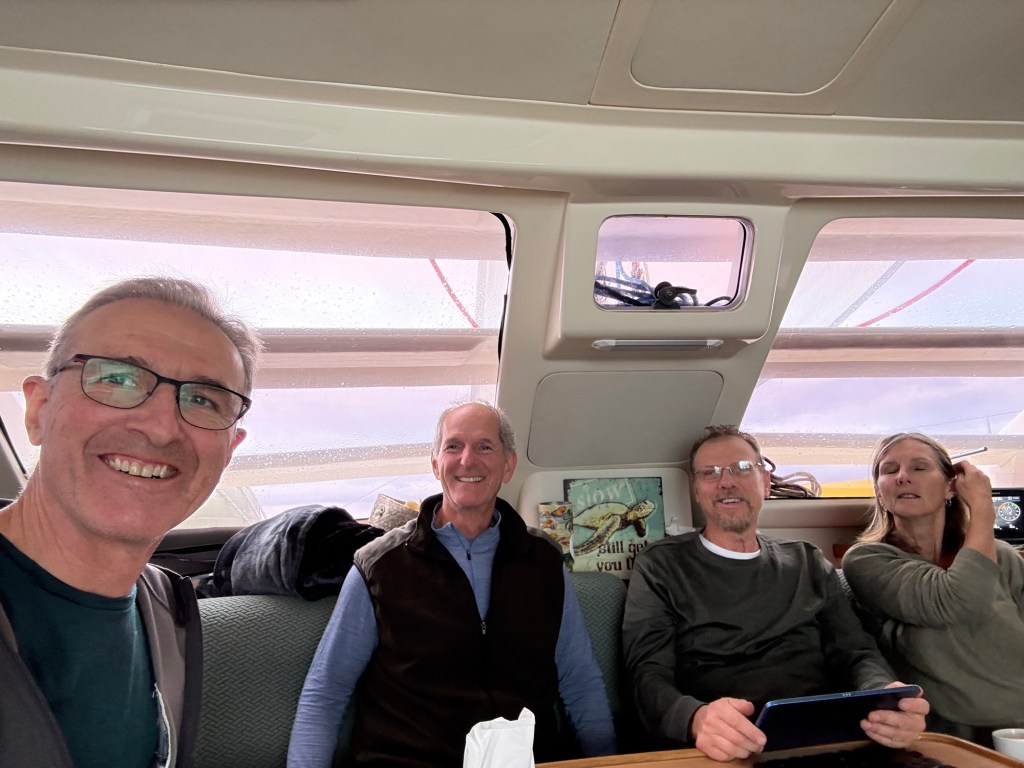
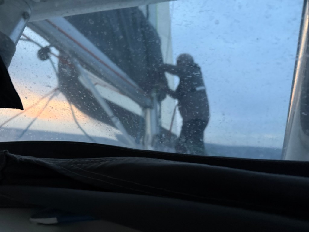
Watches settled into a rhythm, and although sleep was still fragmented, everyone was adjusting. We decided on 1.5 hour watches which meant 1.5 hours on and 4.5 hours off. (I should use the 24 hour clock because, you know, we are on a boat!). We started with the first watch at 19:00. I did 19:00 to 20:30, then Patty, 20:30 to 22:00, Lee 22:00 to 23:30 and finally Rod 23:30 to 01:00. I slept from 9 and relieved Rod at 1:00. Patty would bounce out of bed all ready to greet me at 2:30!
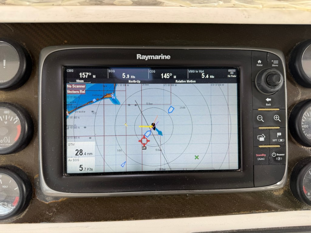
Tracking our location from shore was intermittent. The AIS (Automatic Identification System is a radio system that allows us to see, be seen by, and identify all the ships within about 100 Nautical miles. It worked only when other vessels were nearby, which out here was rare. Starlink Satellite tracking filled in the gaps, but the reality of offshore sailing quickly became clear: once you’re out here, you’re largely on your own.